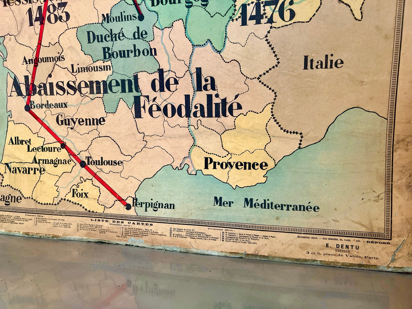
An original vintage French educational wall map illustrating the political and military events surrounding Louis XI of France and Charles the Bold during the decline of feudalism in the late 15th century.
Produced as a classroom teaching aid, this striking map is titled “Louis XI et Charles le Téméraire” and details key locations, campaigns, territories and battles across France, Burgundy and neighbouring regions between 1465 and 1485. The map was designed by Albert Bernard and forms part of the Carte Historique educational series.
Mounted with original metal hanging rails, the piece now serves as both an informative historical document and an impressive decorative feature. The aged paper, muted colours and authentic wear give the map considerable character and make it ideal for display in a study, office, library, restaurant or vintage-inspired interior.
Condition is good vintage condition. There is age-related wear, creasing, discolouration and edge wear consistent with use as a classroom wall chart over many decades. These features add to the authenticity and character of the piece.